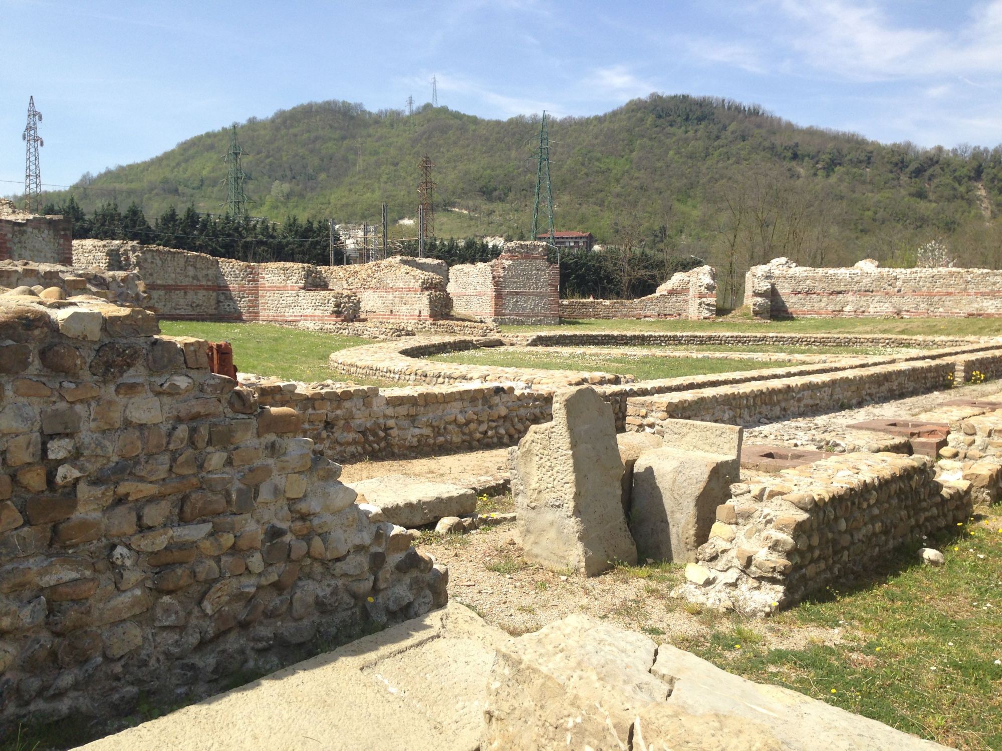
The Libarna Urban Landscapes Project is the first research driven, systematic investigation of the ancient city of Libarna conducted since its discovery in the late 18th century. As an important settlement in the region of Gallia Cisalpina (“Gaul on our side of the alps” as the Romans called it), Libarna represents an opportunity to better understand Roman colonies and cultural interaction in northern Italy. Previous work has primarily focused on excavating to “rescue” elements of the city from encroaching development.
The region of Gallia Cisalpina occupies a somewhat neglected space in archaeological research and important sites like Libarna are often left out of our narratives of life in Roman Italy and the imperial expansion of Rome. By investigating Libarna, our work hopes to fill in gaps in our current knowledge of the Roman world and urban life in this fascinating region.
Since 2016 we have conducted several months of survey, primarily using archaeological and geophysical techniques to build a map of the ancient city without having to excavate. Not only is this less invasive and destructive for the land and the farmers who work the fields, but as there are few ancient (or even modern) records for Libarna, survey enables us to assess the landscape and where the archaeology is within in.
All geophysical tools have their strengths and weaknesses and for that reason we used a multitude of different techniques, achieving successful results in different areas each year. This includes resistivity, magnetometry, ground penetrating radar and drone (aerial) survey. Each method excels or struggles in particular conditions, both as as result of man-made interference such as electricity cables, but also as a result of forces beyond our control, such as the weather.
We have had great successes with our survey, and are looking forward to excavating in the future.
To find out more about Libarna’s history, click here.
